Showing posts with label Northfield. Show all posts

Wednesday, 23 January 2013

Northfield Railway Station


Northfield railway station gets a blog post all of its own because I think it’s rather spectacular. It has 4 platforms, but only two are used. It has bricked up subways (that most people don’t know exist) and has completely changed in the ~140years it’s been here.

When the station first opened in the late 1800s, the passenger trains originally used the central platform, with the outer tracks being used for freight. Platforms one and four didn’t exist then! Access to the central platform was gained via the subway under the bridge on West Heath Road (near the petrol station) – you can still see the bricked and boarded up holes today (the other is in the subway at the ticket office end). At the time, Northfield wasn’t part of Birmingham, so the railways brought people, jobs and goods to the rural areas, and subsequently modern Northfield built up around this.


The passenger subway at the ticket office end is now the only subway here, and it has recently (late 2012) had a refurb – lifts have been installed, more lighting, steps and hand rails. There are also two strips of neon green ‘stuff’ on the floor. One of these patches covers the numbers ‘1892’.  My brother (who is a train geek) and I have decided that this date marks the opening of the subway, as the station as a whole was already open for a while before this.


I love looking at old pictures of this area and seeing how little it has changed – the road layouts are pretty much the same, and you can really imagine what the area was like one hundred years ago. Some old photos of the station can be seen here and here.

Thursday, 21 June 2012

River Rea; Middlemore Rd - Popes Ln.


Another blog post based on a walk down the River Rea, this time, from Middlemore Road near Northfield Railway Station, to the start of Kings Norton Nature Reserve & Wychall Reservoir near Popes Lane. This follows on (quite nicely!) from my previous posts ‘Daffodil Walk’ and ‘RiverRea, Mill Lane’. This route is a continuation of the National Cycle Route 5 and starts where this black signpost can be found.


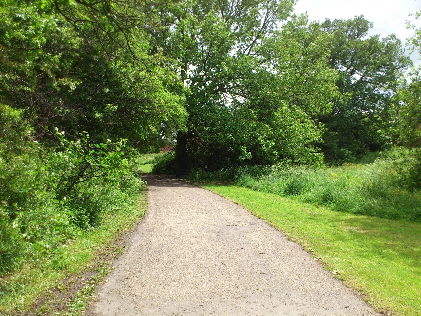
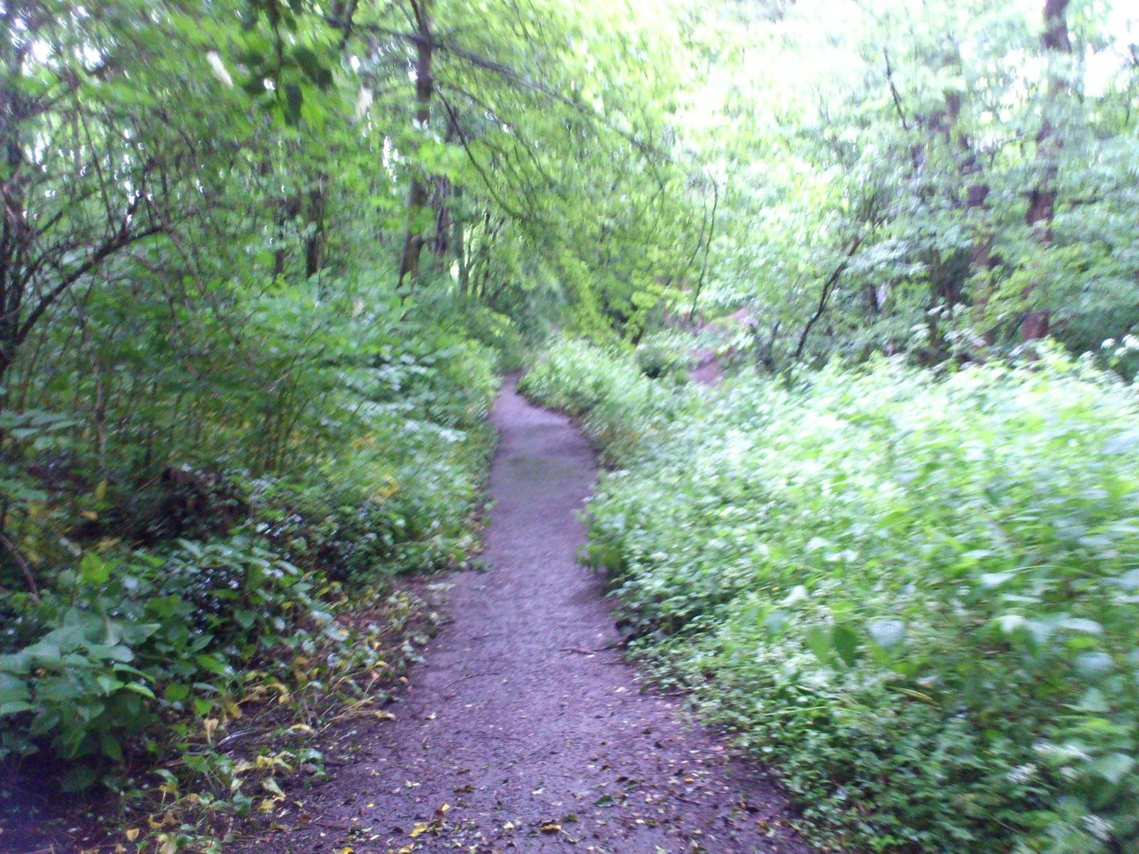
You probably won’t see much of the river from the path unless you actually walk to the edge to find it. The path takes you near to the river, and you can hear it babbling away. The path is tarmacked along the route, and there are also dirt tracks, and sections of grass are mowed shorter to indicate pathways too. People cycle, walk, jog and walk their dogs down here. There is more open space in this part of the park.


After a short distance you will cross a bridge;


And the path continues to the left, although you can turn right (this takes you up to Bridge Piece and a rather large estate). If you go to the left, the river will now be on your left, and the route continues towards Wychall.


Continue walking along the route. Eventually you will come to what looks like the end of the route – to continue, cross the road (you are on Wychall Road) and pick up the route opposite.


This next section is relatively short. It takes you along the back of some gardens, down towards Kings Norton Nature Reserve. There is open land to the west of the path – you can get to this by either walking to the end and turning left down Popes Lane, or by going onto the grassland at the start of the route instead of onto the path. Google Earth/Maps probably explains this better!

The total length of this walk is less than a mile, and is quite a nice walk. You don’t see much of the river but it’s always there. I walked down this way as a means for walking up to Cotteridge. A lot nicer than jumping on the bus!

I shall cover the next part of the walk in a new post.

The path down here is mostly tarmacked, though there are parts that need work (potholes etc.). There are routes off the main path that you could take. Bins are sparse; please take waste away with you. It is a cycle route, so be prepared to share the path!

L x

Bonus Pics:


Monday, 11 June 2012

River Rea, Mill Lane

Another local blog post, which nicely follows on from my last post. The River Rea flows through Birmingham, from the Waseley Hills to M6 J6. Yes, the famed Spaghetti Junction! Here, it joins the River Tame and eventually flows into the North Sea.

This post focuses on quite a short section of the Rea in Northfield, from the Lion Bridge to the junction of Quarry Lane and Mill Lane. There are two paths to walk; one is tarmacked and is a continuation of the Daffodil Walk. The other is muddy and very overgrown, but more fun! I walked the ‘cleaner’ path, but diverted to the mud path to get photos. They both start in approximately the same place, and end near each other too. You can either cycle down Mill Lane, or along the path through the woodland.


I didn’t know until a short while ago that there was actually a mill on this river, and I also didn’t know that there are some remains of it left, although they are buried by the plants here. This notice board needs a clean but you may be able to work out some of what it says. The quote in the middle is from a poem called Ode To A Secret River. The notice board is off the tarmacked track - I came upon a fork in the road and turned right. This path was slightly muddier, and has some steps. It is down these steps that the notice board can be found, and the end of the route is in sight.


This is another really nice walk in the ‘burbs. It doesn’t really take you anywhere important, but it makes a change from the standard footpath walk. It is a good place to escape from the bustle of life. It was so peaceful down by the river, I could've stayed there for a while.


There are a lot more photos on the Flickr site, I took quite a few! Some are blurry because I was taking them on my phone as I was walking.

This route is close to public transport links and there is no parking available. It is also near a residential area – please respect this. Also, please remember to take your rubbish with you – there are only one or two bins. This is a wildlife corridor, and there is a river running through it. If you have kids, be mindful of this. Also, the banks can be very slippy after rainfall. When I walked this route, the river was in flood, and although not deep it was going quite fast. The end of this walk is a busy traffic junction with 4-way signals, and no crossing. Please take care crossing here!!

You can get here by train, on the cross-city line to Northfield – this screengrab from Google Earth shows two ways to get here, depending on which platform you alight at.


You can also get the bus. The 27 from Kings Heath/Maypole stops on Abbeydale Road (where the 'Google' is on the pic) near Coleys Lane. Walk down Coleys towards the bridge. Follow the white line under the bridge, the entrance to this walk route is on the left. Take care when crossing here. You can also walk this route as a continuation of the Daffodil Park walk, which is what I did.

L x


Pics were taken by me, June 7th. Feel free to nick 'em. More pics here.

Saturday, 9 June 2012

Daffodil Walk, Tessall Lane


I’ve always called this walk along the river ‘Daffodil Walk’, but it may be more commonly called Daffodil Park. It is situated in Northfield, at the Longbridge end, and the path starts at Tessall Lane down by the Austin Social Club. I can remember playing, walking and generally exploring this park area when I was little with my brother and sister, and then in my teenage years cotching under the bushes to smoke some rather illegal stuff. Anyhoooo…!

This patch of parkland forms part of the National Cycle Route 5 and follows part of the River Rea as it flows north. It is well used by the public, either as a quiet, suburban-country-esque walking route or for other activities. On my walk I saw a few joggers and dog walkers. It is a level route, and has a tarmacked path so it suitable for wheelchair users, and there are grassy areas to allow kids/animals to run around!


Daffodil Park is so called as this flower was grown here in quantities for commercial use.

If you’re looking for a nice, gentle, quiet walking route in Northfield, this could be the one. Despite being a stone’s throw from the railway, Kalamazoo and the Bristol Road, it is so peaceful along this route, and (aside from the building work nearby) the only things you can really here is the babbling brook (the River Rea) and the birds. The route takes you past a newish residential development, and then brings you out by the Lion Bridge! (See how it's all connected? Clever eh?)


There is an information panel part way down the route; it could do with a clean-up. This is what it looked like when I walked the route:


This route is close to public transport links and there is no parking available. It is also behind a residential area – please respect this. Also, please remember to take your rubbish with you – there are a few bins but not many. This is a wildlife corridor, and there is a river running through it. If you have kids, be mindful of this. Also, the banks can be very slippy after rainfall.

To get here, you can take the train on the cross-city route to Longbridge. Take a right out of the station, and turn right again down Tessall Lane. Follow the road, cross the small bridge at the end and the park is opposite. The tarmacked path is further down, and has a totem pole marking it. You can also use the bus: the 63 from Rubery/Birmingham stops up by the job centre on the Bristol Road. Walk down Tessall Lane, Daffodil Park is on the left. The 49 and 45 buses stop by Longbridge railway station.


L x

Bonus Pics:


All pics were taken by me, June 7th. Feel free to nick 'em; they are also on Flickr. Click for bigger!

Sunday, 3 June 2012

Old Northfield Village


Another local-to-me area of interest for this post – Old Northfield.

This part of Northfield represents the origins of this part of Birmingham. Northfield village has been present here for yonks – it is mentioned in the Doomsday Books and is still a lively little place. It’s been built up and incorporated into the City; it is mostly a residential area with a few small businesses (pub, hairdressers, newsagents etc.) It is a conservation area, and the old nail makers cottages and old St Laurence school are now homes. It is heavily used by traffic on a daily basis but I wonder how many people pass through it without knowing what it all is?


One thing I love about this area is the way you can look at old maps and still see the same area. You can pick out where the pedestrian entrance to Northfield railway station car park now is; the location of where Woodland Road is today; the Church; the school; where the farm used to be, and you can really imagine what it used to be like. Church Hill is the same – when you walk up it you are literally following in the footsteps of the Saxons. (I do have a photo of a map but have nowhere to reference it to at the moment. Northfield Library and Birmingham Central Library should hold more information!)

The pub in Old Northfield is called The Great Stone Inn, and it is named for a huge boulder that used to stand on the corner. This boulder is a glacial erratic, and was dropped by the ice as it retreated in the last ice age! This makes the geo-geek in me very happy. The stone is now housed in the 17th Century pound, which is adjacent to the pub – this sandstone enclosure was where stray animals were kept until their owners paid a fee to get them back.


The church here, St Laurence, also may be older than it looks – I’m not a huge church geek, but I’ve been told it is Norman in age, but may have an even older predecessor, of which nothing exists. The graveyard here is closed to new burials, and you can walk around it, or around the boundaries of it. The latter is known locally as the Robin Path, and takes you from Rectory Road to halfway down Church Hill.


It’s a very quaint area of South Birmingham, and although it looks like a busy road junction, it’s got so much history for a small space and I just love it!

You can get to Old Northfield in a manner of ways – from Kings Heath, take the 27; the bus stops on Bunbury road by St Laurence school. Walk down Church Road (there are low-rise flats on the corner – blue line) and you’re in Old Northfield. You can also get a bus from the City Centre into Northfield high street – the 61 or 63, get off at Tays Corner (opposite McDonalds) and walk down Church Rd (yellow line). The train also runs close to this area – the cross city line stops at Northfield station at the bottom of the hill. Leave via the car park’s Church Road exit and walk up the hill – pink line.


There is a pub here which has food, drink & toilet facilities. Parking is limited – the road is narrow and is a one way system, please consider using public transport. The residential areas are private, please respect this.

L x

Bonus Pics:

Nail makers cottages.

Churchyard boundary wall.

The view looking down Church Hill towards the railway station.

St Laurence School - AD MDCCCXXXVII (1837)

Church.

Pub!

All pics were taken by me on 30th May. Feel free to nick 'em, or visit to take your own. Please respect local residents. Google Earth screengrab taken on 2nd June. Click for bigger.