Showing posts with label Walking. Show all posts

Thursday, 29 August 2013

Bourn Brook Walkway

The other day I ventured down a path I’ve never been before – the Bourn Brook Walkway. I suppose I never knew it existed, I’m never usually in this part of Birmingham but I had seen it (the old faithful) Google Earth, and I decided to go for a mooch one day and see where I ended up. So, with my shiny new phone and its shiny new camera, I set off for a walk! The walkway also leads you towards Woodgate Valley Country Park.

The Bourn Brook walkway is approximately 1.5 miles long; I started it at the roundabout for the new Selly Oak bypass (near the QE Hospital) and then walked West towards the Weoley Castle area. I forgot to time how long it took me but I was ambling along quite slowly as it was a hot and sunny day! Apparently it is part of a larger walking route that takes in Harborne and some parkland as well.

The Bourn Brook is a small stream that flows into the River Rea in Cannon Hill Park via Selly Oak (it flows past the new Selly Oak bypass and the University). People often get it confused with the Bourn, which flows through Stirchley and the Nature Centre, before joining the Rea! Bournbrook is also the name of an area of Birmingham, primarily student-ville to the south of the University, and it’s roots may be traced back to the 19th century and growth around this part of the watercourse.


For a lot of the route, you can’t actually see the water, as it is obscured by vegetation, which is a shame! There are also no benches along this route and it is not tarmacked so be prepared! 

And now for pictures! (Lots and lots of..)
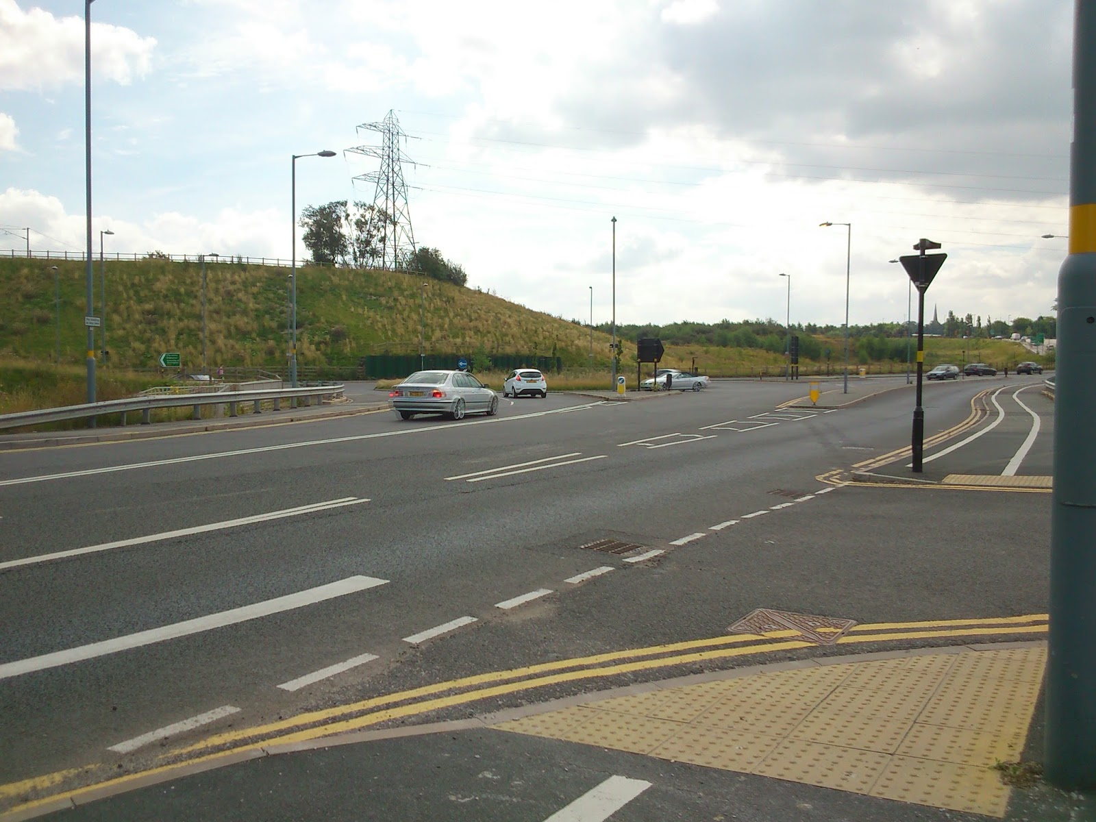
The view at the start of the route. The QE Hospital is up the hill behind me, and the Selly Oak bypass is off to the left.


Granite boulder avec caption. Geeked out a bit, but I am a geologist so it's allowed...


The end of the first part of the walk, on Harborne Park Road. The route continues over the road by the garage...

...by this small sign!


This is where I left the route, at Stonehouse Hill/California Way.

All in all, it was a pleasant walk in the afternoon and I enjoyed it, but I'd like to see more information boards along the way, highlighting the Bourn Brook and the local history and wildlife etc. and I'm aware that a lot of the pictures are very samey-samey as the views weren't very different along the route!


Sunday, 27 January 2013

Local Explorer Walk - Rea Valley Circular


I walked this route on a lovely, sunny, freezing cold day in December, following a route in the Local Explorer Walks booklet. I started at Fairfax shops, but the route can be started anywhere. The booklet states that the walk is 13km (8 miles) long, but after walking it and tracking it with Endomondo, and then working it out on Google Earth, I can confirm it is a little over 5 miles long, which is 8km. Ish. (Therefore I assume the leaflet has a typo!)

The Fairfax area is a relatively new area of Birmingham – this area was still farmland in the 1940s – and it is mainly low rise flats with some blocks. There is a row of shops, which is where I started the walk. They also sell white Kit Kat chunkys, so it’s worth knowing ;-)

From Fairfax shops, I followed the route North, simply because it was going away from the sun and it would be more pleasant. Follow the road towards the pub, then turn right. This road takes you towards the Fordrough. Head up here towards West Heath Park.


You will then pass through the Fairway – this area is also covered on the previous LEW I did, though this time I missed out Merecroft Pool due to recent weather conditions, and I walked down the road towards Wychall Lane, and then onto King’s Norton Nature Reserve.


If you have been following this blog from the start you will recognise this part of the route. Follow the Rea through King’s Norton Nature Reserve, past Wychall Reservoir and up the back of Staple Lodge Road. You will emerge onto Middlemore Road, near Northfield Railway Station. You now want to follow the route of the railway line – another side note, the chippy on the corner here does a hog roast every Saturday – down Station Road. Go under the railway bridge and then immediately cross the road. There is a small gate on the left – this takes you along a river path called the Mill Walk, which (incidentally) was one of my first posts on the blog! There is a small flight of steps here, or you could carry on up the road to bypass these. Just before the steps is a notice board about the mill that once stood here. Apparently there are remains of the building in all the undergrowth but I’ve never seen it!


This is a 4-way traffic light controlled junction with no proper crossings for pedestrians. Take care crossing here!


This part of the walk is pretty much straight along the river now. Take care when crossing near the ford, and continue walking towards the new estate. This part of the path is now the Daffodil Path, and will take you to Tessall Lane.


Follow the road around to the left and up alongside Longbridge railway station. At the junction turn left, and walk up Longbridge Lane. Keep heading in this direction until you pass a park on the left – you’re nearly at the end!


 Follow the road to the left, and this will lead you to a path, which in turn leads you back to Fairfax shops and the lovely chippy! (What! You need a reward after that walk..)

Monday, 3 December 2012

Canal Walk; University to Stirchley

This walk heads south, from the University of Birmingham to Stirchley, along the Worcester and Birmingham Canal. The walk took me about an hour. This route is popular with cyclists and joggers so be prepared to move aside!

I joined the canal via a hole in a wall, near to University railway station (building on the left).


The canal towpath goes over a new bridge that was built as part of the new relief road work. The cross winds up here are quite powerful!!!


At the Selly Oak Railway Bridge, on the left hand side, a graffiti-ed wall can be seen. This is the start of a railway bridge - I'm not sure if it was ever used, but it would have taken the railway in the direction of Harborne.


Towards the end of the walk, you go past the back of the Cadbury factory! Sundays are Dairy Milk days ;-)


This was a really pleasant walk to do on my way home from work on a lazy sunny Sunday! The canal carries on from Stirchley towards King's Norton Junction, but I decided to leave the path here.