I badly codged this together on MS Paint sometime in January after going for a walk around Kings Norton and The Fields, Millenium Green. I found a gap in the trees and was quite shocked at how far I could see! I have highlighted a few key localities on the top photo, and the map at the bottom shows it is ~4 miles as the crow flies between the edge of the city boundary and the QE hospital. Not bad, eh!
Showing posts with label Kings Norton. Show all posts
Tuesday, 30 April 2013
Saturday, 17 November 2012
Hawkesley Hall; King’s Norton
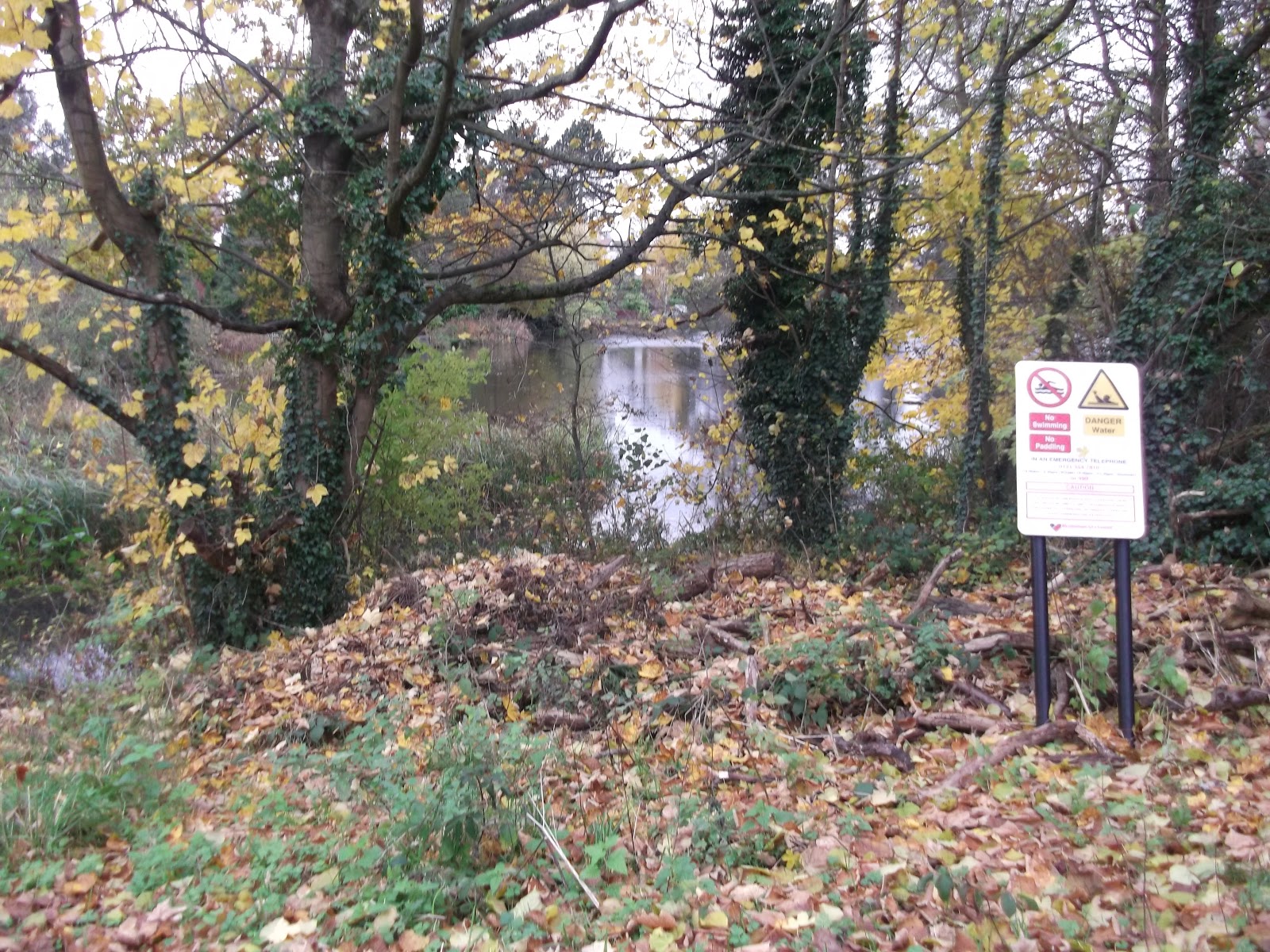
One day, I was doing a volunteering shift at Stirchley Stores with a rather nice man called Steve. We were talking about this blog and
he asked if I knew anything about Hawkesley Hall. I said, I’ve never heard of
it, which was true. Fast forward a few weeks to a day when I decided to go and
find it, and I’m quite pleased that I have! There are no remains on the site,
so if the signs weren’t here you’d have no idea. There are carved stone blocks
with minimal information on, but to someone who doesn’t know, this area just
looks like a patch of trees in the middle of an estate.
Hawkesley Hall is possibly the sister manor to Hawkesley House on Turves Green – the former being Little Hawkesley and the latter being
Great Hawkesley. There is a chance that the former was the first home of the
Hawkeslow family, and then they upgraded and moved to Turves Green. I wish I could
claim to be a genius and know all this, but a lot of my information is from
here and here.
There is a path around this site, and it supposedly follows
the line of the moat. I like this idea; you can walk around the perimeter of
the property before taking the path that would lead up to, and now through, the
house.
It would be very interesting to know more about this – what the
original house would’ve looked like, what the surrounding area would look like,
how the Victorian house that was built on the same land would look like etc. I
love peering into the past at old buildings and imagining how the world has
changed so much in that one location!
| Lime Tree Walk |
To get to this location, you need to aim for the Hawkesley
Estate. I walked up from the canal, but the 45 stops a 5 minute walk away, and
the 35 and 27 also stop nearby. Once again, check out my brilliant Google Earth
Map to find out more!
Tuesday, 13 November 2012
Local Explorer Walk – King’s Norton and West Heath
Based around Merecroft Pool, Wychall Reservoir and West
Heath park.
I’ve wanted to find Merecroft Pool for a while, in order to
blog about it, but then as I was getting ready to go for a walk, I found a
Local Explorer Walks leaflet in
my drawer, and I decided to follow the walk that has Merecroft Pool as its
focus. I have already covered half of the walk in previous posts – it follows
the River Rea route past Wychall Reservoir and behind Wychall Road – so this post may sound familiar if you’ve read the
other ones!
I started this route at Merecroft Pool itself, near the entrance to King’s Norton Nature Reserve on
Beaks Hill Road. As this route is circular, you can start it anywhere! See my
brilliant Google Earth route map for more information.
As I walked this route fairly recently, I can vouch for the
need for the walker to be wearing either sturdy waterproof boots, or sturdy wellies!
Most of the route around the pool was more mud than not and some of it was a
few inches deep. The rest of the route is either along tarmacked walkways or on
public roads. It is not really suitable for cyclists, wheelchairs or buggies
around the pool, but the rest of the walk is. The route is about 2 miles long.
Merecroft Pool is a former millpond, and this area used to
be farmed. It is now built up, suburban Birmingham, and a few houses around the
pool have direct access from their gardens to the pool. You can read some more
of the history over on the Friends of King’s Norton Nature Reserve website.
I walked this route in an anti-clockwise direction, following the Google Earth map view above.
The paths are narrow and very muddy! They are not tarmacked and there are lots of low branches.
The route continues over the road and round to the left, back towards Wychall Reservoir. The route here is on a proper road surface.
Continue past Wychall Reservoir.
When you leave the River Rea path, you need to head up Staple Lodge Road until you reach West Heath Park. There are paths in the park, though if it has been raining you might prefer to walk up Oddingley Road. Follow the route (it basically follows the line of Oddingley Road) through the park.
If you do walk through the park, you will come to a set of steps. Follow these, and they will bring you out on Vardon Way.
Continue walking in a straight line, down some alleyways, and you will end up back at the pool!
There are a number of ways of getting here; the 47 goes past
and stops near the field on Wychall Lane, as does the 49. King’s Norton railway
station is nearby. There is no parking and no visitor facilities. Please take
rubbish with you. I didn’t time how long the walk took me, but I walk fairly quickly.
The leaflet suggests an hour.
Sunday, 21 October 2012
Canal Walk; Tunnel Lane – King’s Norton Junction
This route starts at Lifford Lake, or it can be started from Lifford Lane. Follow the
sign on a lamp post for the River Rea Heritage trail. When you get to Lifford
Lake, follow the lane to the right. Follow it all the way round, you will go
past some derelict warehouses and then end up on the canal tow path! Turning
right takes you towards the guillotine lock; turning left takes you into
unchartered territory… or up towards the Maypole.
This is a relatively short walk and the towpath is suitable for
all types of users. There are often cyclists down here so be prepared to move
aside.
Labels:
Canals,
Kings Norton,
Walking
Thursday, 11 October 2012
The Saracen’s Head, King’s Norton
The Saracen’s Head on King’s Norton Green is part of a
medieval complex of buildings which includes the Old Grammar School.
It was a winner on BBC’s ‘Restoration’ program in 2004 and is now known as St Nicholas Place.
It was built as a Tudor Merchants House in 1492, and in 1643
Queen Henrietta Maria of France may have stayed here during the Civil War on
her way up to York. The Saracen’s Head is supposedly haunted by the ghost ofthe Queens maid,
who caught influenza from the troops who were camped by the stream (the River
Rea, near to The Camp pub).
The venue is now fully restored and can be hired out for
events – I used to give blood here – and there is also a cafĂ©, and I believe
tours are available. There is a piece of original wattle and daub in the upstairs
room too!
King’s Norton Green is part of the King’s Norton ConservationArea and there is also a monthly farmers market on the Green. This is quite a delightful little place to just sit and watch the
world go by, or to explore, or to use a base for your next adventure! It is
near to many locations I have already blogged about – the canal; Lifford Lake;
the River Rea; King’s Norton Nature Reserve and hopefully soon many more!
Tuesday, 9 October 2012
Canal Walk – Mary Vale Rd to Lifford Lane
I like the canal system in Birmingham. I used to cycle along
it quite often with my brother and father, from Northfield to Selly Oak and
back. One day soon I hope to pluck up the courage (and get my wheels
straightened) and then embark on a bike ride! But until then I shall make do
with walking. This route took me from Bournville railway station in Stirchley
to Lifford, where I left the towpath to go and find Lifford Lake.
The route continues towards King’s
Norton junction along the Birmingham and Worcester Canal. This short stretch of
canal featured on a BBC show, Canal Walks,
with Juila Bradbury.
To get onto this part of the canal, I walked up Mary Vale
Road from Stirchley high street (Pershore Road). The way onto the towpath is
indicated with a purple arch; it also the way into platform 2 of the railway
station. There is an information board about transport in Stirchley and the
panels on the barrier also have etchings. When you get to the bottom of the
ramp, turn back on yourself so you go under the bridge.
This is a nice walk, away from the hustle and bustle of
Stirchley high street. I saw geese, ducks and a heron when I walked it. It is a
relatively level route and is well surfaced. I encountered a few cyclists on my
walk so be prepared to move aside! Fishing is not allowed down here due to the
overhead wires for the trains and local power station.
There is a small bridge to cross, when you go under the next
bridge which takes the Pershore Road over the canal. The bridge for the canal
runs alongside and slightly below the main pedestrian bridge so you do not need
to go onto the highway to cross the canal. There are some steps to allow access
to the main road, or you can go down the slope and continue along the canal.
At Lifford Lane, I left the canal network. If you choose to
carry on, the towpath (now on the other side of the canal) will take you down
to the King’s Norton Junction, where the Stratford Upon Avon Canal joins. Turn
left at the junction to see the guillotine lock,
continue straight on to get to Wast Hills tunnel,
or turn right to go through King’s Norton Park.
The above picture shows the underside of the bridge that carries Lifford Lane over the canal. This is where I left the towpath. The towpath continues on the other side towards King's Norton Junction, or you could leave here and find Lifford Lake.
Saturday, 1 September 2012
Lifford Lake, King's Norton
A hidden gem! I found it on Google Earth, and then proceeded to hunt it out and find it. And boy, did I find it! This is another wondrous place – it is surrounded by industry (the Lifford household recycling centre is a stone’s throw away) and there are no signs from the road that make it obvious. I found my way there from Lifford Lane – take Tunnel Lane (signposted as the River Rea Heritage Trail), and Lifford Lake is straight up this road. There is a small car parking area, and then the following sign is visible:
The space opens out to reveal a large body of water – this was
once a compensation lake for the nearby mill (which you passed as you walked up
Tunnel Lane – this is now on private land, but you can see the buildings from
the gate, as well as the sandstone folly). Lifford Lake was built in 1815 and
is popular for fishing. I took a panoramic photo while I was there.
You can read more about Lifford here.
Pics taken by me, August 24th 2012. They are up on Flickr!
Thursday, 19 July 2012
Thomas The Tank Engine
Not many people are aware of this, indeed, no one I know
other than my family knows this, but Thomas the Tank Engine was born in King’s
Norton in 1942. Yes, Thomas the little blue engine and all of his adventures
were born from the mind of Reverend W Awdry to amuse his son, all while he was based at St Nicolas Church as a curate. It was originally called The Railway Series.
This isn’t really celebrated much, although I keep hearing
whispers that this is all going to change soon! I saw some artwork on the railway bridge at King’s Norton the other day that also suggests this.
More pics from the railway bridge can be seen in the previous blog post, which in turn links to the Flickr page.
L x
Tuesday, 17 July 2012
King's Norton Railway Station Footbridge
My mom mentioned one of the ladies at her work had seen some art on the footbridge over the railway tracks. I went to have a look. Amazing!
One side (by Adeela Ahmad of King's Norton Girls)
The other side (by Oliver Blackburn of King's Norton Boys)
Pretty neat, huh? A brief history of King's Norton and the Cotteridge area in a highly eye-catching form. A few people walked across the bridge whilst I was taking these photos, and they just didn't seem to notice it - such a shame. I think it's brilliant!
More photos are up on Flickr. All pics taken by me, on July 17th. Click for bigger.
I highly suggest you all go and take a look! The bridge can be accessed from Station Road, either by The Camp pub on Camp Lane or from Middleton Hall Road, or from the railway station itself - the bridge is at the far end of the tracks, away from the ticket office. Cotteridge is easily accesible by buses - the 11A/C, 47, 45, 18 and the 49 all stop here. There are steps on either side of this bridge and no lift/ramp access.
A small write up can be read here.
L x
The other side (by Oliver Blackburn of King's Norton Boys)
Pretty neat, huh? A brief history of King's Norton and the Cotteridge area in a highly eye-catching form. A few people walked across the bridge whilst I was taking these photos, and they just didn't seem to notice it - such a shame. I think it's brilliant!
More photos are up on Flickr. All pics taken by me, on July 17th. Click for bigger.
I highly suggest you all go and take a look! The bridge can be accessed from Station Road, either by The Camp pub on Camp Lane or from Middleton Hall Road, or from the railway station itself - the bridge is at the far end of the tracks, away from the ticket office. Cotteridge is easily accesible by buses - the 11A/C, 47, 45, 18 and the 49 all stop here. There are steps on either side of this bridge and no lift/ramp access.
A small write up can be read here.
L x
Sunday, 15 July 2012
The Old Grammar School, King's Norton
The Old Grammar School in King’s Norton is another of those
places that I knew about, and went to find, but never saw it (much like
Ironbridge, but that’s a different story). I decided to go back and hunt it
down, and have a proper look at it, instead of just reading about it.
What I found, tucked away behind Saint Nicolas Church in a
corner of the graveyard, is a beautiful little building, two storeys high,
brick built with stone detail around the doors and windows on the ground floor,
and timber framework for the upstairs. According to this page on the University of Birmingham website, the brick part may have been underbuilt
as it was tailored to fit the upstairs. It looks no bigger than a modern detached house, and it’s quite hard to imagine that this was once a
school!
This area is accessible to all. There are bins, and the Saracen's Head has a café and toilets. Parking is limited around the Green - but it is easily accessible by bus. More information can be read here. All pics were taken by me on June 9th 2012.
L x
Subscribe to:
Posts (Atom)