Showing posts with label Local Explorer Walks. Show all posts

Sunday, 27 January 2013

Local Explorer Walk - Rea Valley Circular


I walked this route on a lovely, sunny, freezing cold day in December, following a route in the Local Explorer Walks booklet. I started at Fairfax shops, but the route can be started anywhere. The booklet states that the walk is 13km (8 miles) long, but after walking it and tracking it with Endomondo, and then working it out on Google Earth, I can confirm it is a little over 5 miles long, which is 8km. Ish. (Therefore I assume the leaflet has a typo!)

The Fairfax area is a relatively new area of Birmingham – this area was still farmland in the 1940s – and it is mainly low rise flats with some blocks. There is a row of shops, which is where I started the walk. They also sell white Kit Kat chunkys, so it’s worth knowing ;-)

From Fairfax shops, I followed the route North, simply because it was going away from the sun and it would be more pleasant. Follow the road towards the pub, then turn right. This road takes you towards the Fordrough. Head up here towards West Heath Park.


You will then pass through the Fairway – this area is also covered on the previous LEW I did, though this time I missed out Merecroft Pool due to recent weather conditions, and I walked down the road towards Wychall Lane, and then onto King’s Norton Nature Reserve.


If you have been following this blog from the start you will recognise this part of the route. Follow the Rea through King’s Norton Nature Reserve, past Wychall Reservoir and up the back of Staple Lodge Road. You will emerge onto Middlemore Road, near Northfield Railway Station. You now want to follow the route of the railway line – another side note, the chippy on the corner here does a hog roast every Saturday – down Station Road. Go under the railway bridge and then immediately cross the road. There is a small gate on the left – this takes you along a river path called the Mill Walk, which (incidentally) was one of my first posts on the blog! There is a small flight of steps here, or you could carry on up the road to bypass these. Just before the steps is a notice board about the mill that once stood here. Apparently there are remains of the building in all the undergrowth but I’ve never seen it!


This is a 4-way traffic light controlled junction with no proper crossings for pedestrians. Take care crossing here!


This part of the walk is pretty much straight along the river now. Take care when crossing near the ford, and continue walking towards the new estate. This part of the path is now the Daffodil Path, and will take you to Tessall Lane.


Follow the road around to the left and up alongside Longbridge railway station. At the junction turn left, and walk up Longbridge Lane. Keep heading in this direction until you pass a park on the left – you’re nearly at the end!


 Follow the road to the left, and this will lead you to a path, which in turn leads you back to Fairfax shops and the lovely chippy! (What! You need a reward after that walk..)

Tuesday, 13 November 2012

Local Explorer Walk – King’s Norton and West Heath


Based around Merecroft Pool, Wychall Reservoir and West Heath park.

I’ve wanted to find Merecroft Pool for a while, in order to blog about it, but then as I was getting ready to go for a walk, I found a Local Explorer Walks leaflet in my drawer, and I decided to follow the walk that has Merecroft Pool as its focus. I have already covered half of the walk in previous posts – it follows the River Rea route past Wychall Reservoir and behind Wychall Road – so this post may sound familiar if you’ve read the other ones!

I started this route at Merecroft Pool itself, near the entrance to King’s Norton Nature Reserve on Beaks Hill Road. As this route is circular, you can start it anywhere! See my brilliant Google Earth route map for more information.


As I walked this route fairly recently, I can vouch for the need for the walker to be wearing either sturdy waterproof boots, or sturdy wellies! Most of the route around the pool was more mud than not and some of it was a few inches deep. The rest of the route is either along tarmacked walkways or on public roads. It is not really suitable for cyclists, wheelchairs or buggies around the pool, but the rest of the walk is. The route is about 2 miles long.


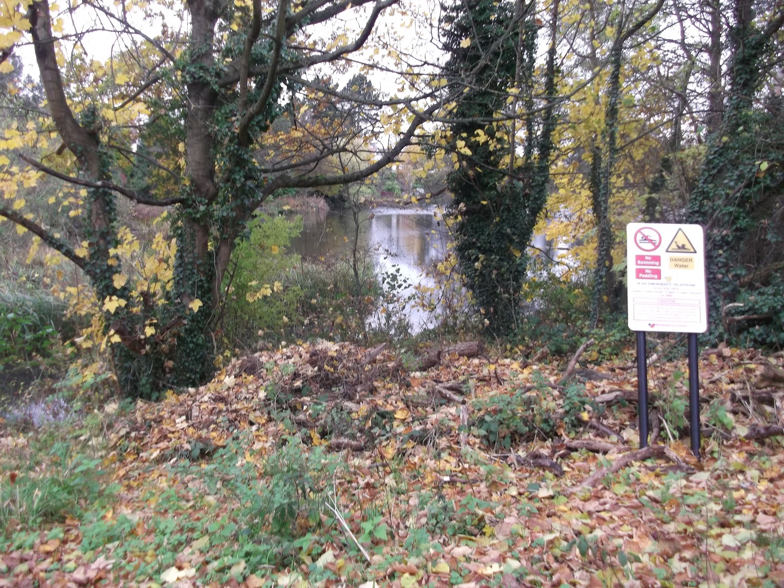
Merecroft Pool is a former millpond, and this area used to be farmed. It is now built up, suburban Birmingham, and a few houses around the pool have direct access from their gardens to the pool. You can read some more of the history over on the Friends of King’s Norton Nature Reserve website.

I walked this route in an anti-clockwise direction, following the Google Earth map view above. 


The paths are narrow and very muddy! They are not tarmacked and there are lots of low branches.


The route continues over the road and round to the left, back towards Wychall Reservoir. The route here is on a proper road surface.


Continue past Wychall Reservoir.


When you leave the River Rea path, you need to head up Staple Lodge Road until you reach West Heath Park. There are paths in the park, though if it has been raining you might prefer to walk up Oddingley Road. Follow the route (it basically follows the line of Oddingley Road) through the park.


 If you do walk through the park, you will come to a set of steps. Follow these, and they will bring you out on Vardon Way.


Continue walking in a straight line, down some alleyways, and you will end up back at the pool!


There are a number of ways of getting here; the 47 goes past and stops near the field on Wychall Lane, as does the 49. King’s Norton railway station is nearby. There is no parking and no visitor facilities. Please take rubbish with you. I didn’t time how long the walk took me, but I walk fairly quickly. The leaflet suggests an hour.